Senate Bill 79 Implementation in San Francisco
California Senate Bill 79 (SB 79), the Abundant and Affordable Homes Near Transit Act, sets statewide rules that encourage cities to allow for more housing near major transit stops.
Mayor Lurie signed San Francisco’s Implementation Ordinance on May 8, 2026. The Ordinance pursues the option for an Alternative Plan that fulfills the transit-oriented development goals of SB 79 in a locally-tailored way, respecting past planning and zoning efforts undertaken in the city.
What is Senate Bill 79?
SB 79 creates height and density rules for housing near major transit stops. It aims to:
- Increase housing supply and affordability
- Support and strength public transit
- Reduce greenhouse gas emissions
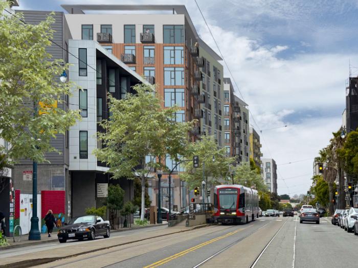
In San Francisco, where there are 270 qualifying transit stops, three-quarters of properties (about 120,000 parcels) fall within areas that might be subject to SB 79.
The law set default allowable heights and densities for residential development based on the type of transit stop and how close a property is to the transit stop:
- Tier 1: Areas near Caltrain and BART stations allow the greatest heights and housing density.
- Tier 2: Areas near Muni light rail stations and major bus rapid transit stops allow moderate heights and density.
See the map below for the locations of the SB 79 station access points and applicable station areas. Tier 1 station access points and station areas are shown in purple, and Tier 2 is shown in blue.
How does San Francisco comply with Senate Bill 79?
SB 79 allows cities to create an Alternative Plan that meets the goals of the law through a locally tailored approach instead of applying the state’s default zoning standards near major transit stations. In addition, SB 79 also allows cities to permanently and temporarily exempt certain areas from the law under specific conditions.
On May 8, 2026, Mayor Daniel Lurie signed San Francisco’s implementing ordinance, which adopts this Alternative Plan approach.
You can view the legislation here: Board File No. 260132.
The Ordinance:
- Permanently excludes certain parcels in Industrial Employment Hubs from the application of SB 79.
There are three Industrial Employment Hubs in the city, each over 250 acres that qualify and contain excluded parcels. The Maps of Industrial Employment Hubs on the Map tab show the excluded parcels. - Temporarily exempts parcels in some low-resource areas.
Approximately 19,850 parcels that fall within census tracts that the California Tax Credit Allocation Committee (CTCAC) designated as low-income areas for 2026 will be exempted from the law until 2032, one year after the next Housing Element is due. See the Map of Temporarily Exempted Low Resource Tract on the Map tab. - Amended the Planning Code to allow additional housing density
The new Code Section 207.11 allows at least 50% of SB 79 housing density on certain parcels within ½ mile of qualifying transit stops if current zoning does not already allow that amount. - Demonstrates that San Francisco’s existing zoning, inclusive of the new Section 207.11 allowances, meets SB 79 housing capacity requirements.
Specifically, the City was required to show that:- San Francisco’s zoning in SB 79 areas allows total housing capacity in aggregate that is equal to or greater than the housing capacity SB 79 would allow.
- In each SB 79 transit station area, local zoning allows at least 50% of the housing capacity that SB 79 would allow.
- On all parcels in SB 79 areas where housing is allowed, zoning allows at least 50% of the density allowed under SB 79.
The Alternative Plan applies to the entire city, meaning no parcel in the city is subject to the default SB 79 heights and densities. Some parcels do qualify for a new density and height exception per Planning Code Section 207.11. For more information about the requirements for using the Section 207.11 density and height exception, review the Bulletin. To see SB 79-related information for any parcel, under Zoning Information, see the Transit-Oriented Residential Development Areas section on Property Information Map (PIM).
Maps of Industrial Employment Hubs
- Bayview Industrial Employment Hub
- Bayshore-Potrero Industrial Employment Hub
- SoMa-Mission Industrial Employment Hub
These three maps show the qualifying Industrial Employment Hubs, denoting the existing zoning of each parcel in color and including a black outline around the parcels that are permanently excluded from the provisions of SB 79.
Non-City government-owned parcels zoned M-1 or M-2 are light blue, Non-City government-owned land zoned PDR are gray-blue, Non-City government-owned parcels zoned P are shown in eggplant, Non-City government owned parcels zoned SALI are shown in salmon, Non-City government owned parcels zoned WMUO are shown in dark blue, parcels zoned M-1 or M-2 are shown in violet, parcels zoned as P are shown in dark green, Port jurisdiction parcels zoned M-1 or M-2 are show in in lime green, Port jurisdiction parcels zoned P are shown in light pink, Port jurisdiction parcels zoned PDR are green, parcels zoned as SALI are shown in blue, parcels zoned as WMUO are shown in orange, and parcels zoned as PDR are shown in light yellow.
Map of Temporarily Exempted Parcels in Low Resource Tracts
Temporarily Exempted Parcels in Low Resource Tracts: this map shows in purple the low resource parcels that are temporarily exempted from the provisions of SB 79, until January 2032, one year after the next Update to the Housing Element.
Past
Board of Supervisors Hearing, Second Read
May 5, 2026
- View the recording on SFGovTV
Board of Supervisors Hearing, First Read
April 28, 2026
- View the recording on SFGovTV
Land Use and Transportation Committee of the Board of Supervisors
April 20, 2026
- View the recording on SFGovTV
Land Use and Transportation Committee of the Board of Supervisors
April 13, 2026
- View the recording on SFGovTV
Adoption Hearing at Planning Commission
March 15, 2026
- Executive Summary
- View the recording on SFGovTV
Informational Webinars
February 25 and March 2, 2026
Sarah Richardson
sarah.richardson@sfgov.org
Joshua Switzky
joshua.switzky@sfgov.org