Polk Streetscape Design
Project Status: Completed
The Polk Streetscape Design project will build on the Polk Street Improvement Project led by the San Francisco Municipal Transportation Agency (SFMTA) to create a complete street design for Polk Street from McAllister Street to Union Street.
The SF Planning Department, SFMTA, and the Department of Public Works presented the Polk Street Complete Street Design at an open house on March 26th.
In July, the SFMTA presented a preferred alternative for the roadway design for Polk Street. The next phase of the project is the development of a streetscape design. The goal of this phase is to develop a streetscape design that creates a thriving and active corridor, enhances the pedestrian experience, compliments bicycle and transit mobility, and supports commercial activity.
This project is an interagency effort of the San Francisco Planning Department, the San Francisco Department of Public Works, and the San Francisco Municipal Transportation Agency.
In 2011, San Francisco voters passed the Road Repaving and Streets Safety Bond. Funds from this bond have been allocated toward the planning and construction of Polk Street from McAllister to Union.
Study Area
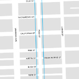
The Polk Streetscape project includes the length of Polk Street from McAllister Street to Union Street. Click here to download a map of the proposed study area.
Polk Street Complete Street Design
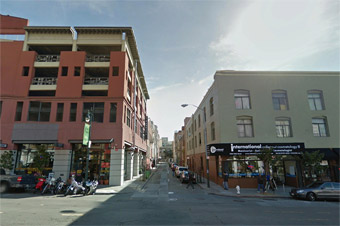
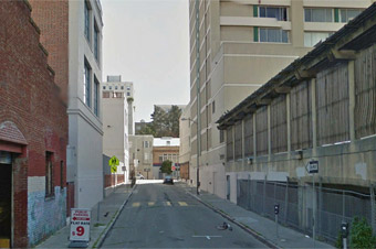
Before and After: hover over each image to view the "after" rendering.
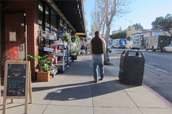
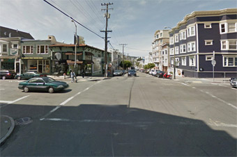
Renderings are for illustrative conceptual purposes only. They are not representative of actual detailed design materials or locations.
Timeline
| Polk Complete Street Design Project Timeline | |
| September 2012 - July 2013 | Develop Roadway Design |
| July 2013 - December 2013 |
Develop Streetscape Design |
| 2014-2016 | Develop Detailed Complete Street Design; Environmental Review; Legislation & Approvals |
| Summer 2016 - Winter 2018 | Construction |
Events
None scheduled at this time.
Public Open House (March 26, 2014) - Boards
- About the Project
- Streetscape Overview
- Existing Conditions
- Public Life
- Other Related Efforts
- Corridor Improvements
- Conceptual Design: Polk Street from Union to Sutter
- Conceptual Design: Polk Street from Sutter to McAllister
Download Materials
General Documents
- Polk Street Corridor Existing Conditions and Demographic Information Streetscape
- Polk Streetscape Demographics
- Information flyer
- Flickr album (see below for previews)
Working Group Session 1 Materials (September 17, 2013)
- Event Invitation
- Activity 1: My Favorite Things
- Activity 1: Scans
- Activity 2: Map
- Activity 2: Scans
- Working Group #1 summary
- Photos - Session 1:


Working Group Session 2 Materials (October 22, 2013)
- Activity 1: Base Design Improvement Board
- Activity 2: Additional Improvements Board
- Activity 2: Scans
- Activity 3: Priority Locations for Improvements Map Board
- Activity 3: Scans
- Working Group #2 summary
- Photos - Session 2:


Related Links
Interactive Map
Use the ( + ) and ( - ) buttons to control zoom. Click on the map items for an in-depth look at what public realm and bicycle improvements are part of the Polk Street Complete Street Design.
Matt Lasky
San Francisco Municipal Transportation Agency
(415) 701-5228
matt.lasky@sfmta.com
Cristina Calderón Olea
Department of Public Works
(415) 558-4004
cristina.c.olea@sfdpw.org

